
Is it worth including?
Southern lift cluster · compare with your property point It fits naturally into a visit to this part of the destination.
- Allow
- Treat Ogorjelica as part of a ski or hiking day rather than a timed sightseeing stop; allow at least 30 minutes if visiting only to orient yourself at the cluster.
- Getting there
- Reach Ogorjelica through Jahorina’s mountain-road and resort network, then follow current Olympic Center signage for the relevant lift, piste or summer route.
- Ground / accessibility
- Steep mountain terrain, snow and seasonal surfaces are central constraints. Ask the resort or your accommodation about the current closest accessible viewing or uplift point if mobility is limited.
Understanding Ogorjelica lift area
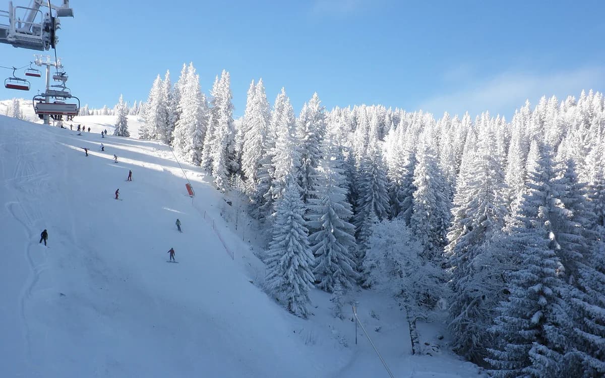
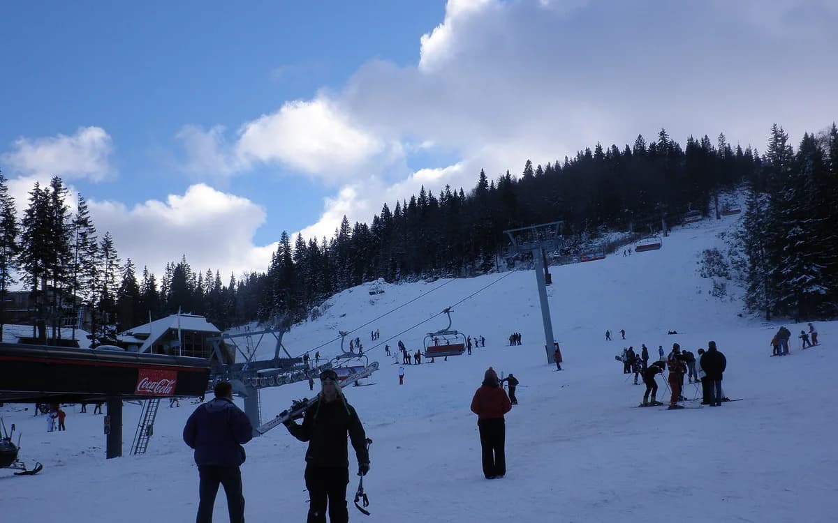
Ogorjelica is a named upper-mountain ski and lift cluster within Jahorina’s developed resort network. The Olympic Center’s lift-and-trail inventory distinguishes Ogorjelica I and II and links the area with multiple descent routes, making it a different operational reference from Poljice rather than merely another name for the same base. Modern uplift has changed how visitors move through this part of the mountain, so the site’s history is one of evolving resort infrastructure rather than preserved architecture.
The name also connects to Jahorina’s high-mountain geography beyond winter skiing. Official summer material uses Ogorjelica as a high point and route reference on longer hiking and cycling circuits. That makes the cluster useful for understanding how ski terrain becomes summer mountain terrain once snow operations end, while also reinforcing that the exact active infrastructure varies by season.
What to see, and what deserves a closer look
In winter, pay attention to where the Ogorjelica uplift actually deposits and collects skiers relative to the pistes you intend to use. The value of visiting the area is operational orientation and mountain scale, not a stand-alone monument photograph.
In green season, longer official routes can use the Ogorjelica high point as part of a wider circuit. The absence of winter bustle changes the experience completely, so do not let a snowy promotional image dictate expectations for a summer visit.
Look for these details
- A distinct Jahorina lift-and-piste cluster that reveals the resort’s spread beyond Poljice.
- Upper-mountain perspectives across the ski terrain and surrounding Dinaric landscape.
- The seasonal contrast between active winter ski infrastructure and longer green-season mountain routes.
How to plan the visit
Use official live ski information before committing to an Ogorjelica-based day. Lift availability, piste status, snow and weather can change independently of accommodation bookings, so check which exact lift and descent areas are operating rather than assuming a general resort-open label guarantees your chosen route.
If you are choosing between Poljice and Ogorjelica accommodation, start with the lift/slope or summer-route cluster you actually expect to use. A short straight-line distance on a mountain map can still translate into a different road, gradient or ski connection.
Timing & conditions
Check official operating and weather information immediately before the visit. No fixed lift schedule should be treated as durable across seasons or maintenance periods.
Respectful visiting
Follow ski-area right-of-way and lift instructions, keep clear of moving equipment and active pistes, and use marked summer trails rather than cutting across fragile or operational terrain.
Avoid these common mistakes
- Using “central Jahorina” as if Poljice and Ogorjelica were interchangeable lodging and lift locations.
- Assuming a named lift or piste is operating because it appears on the official network map; live status must still be checked.
Questions before you go
Is Ogorjelica the same ski area as Poljice?
They are connected parts of Jahorina, but they are distinct lift and slope clusters. That difference can matter when choosing accommodation or planning the first run of the day.
Can you visit Ogorjelica in summer?
Yes as part of the mountain’s green-season trail network when conditions and routes are suitable, but summer access should be checked against the Olympic Center’s current information.
Nearby sights and a wider itinerary
If you are choosing between Poljice and Ogorjelica accommodation, start with the lift/slope or summer-route cluster you actually expect to use. A short straight-line distance on a mountain map can still translate into a different road, gradient or ski connection.
Sources and further reading
History and visitor context are informed by these references. Geographic point provenance and licensed photo attribution are shown separately above; a Google Maps pin is not a historical source.