

Is it worth including?
Old-core edge · pairs with the fortress It fits naturally into a visit to this part of the destination.
- Allow
- Allow 45–90 minutes for the spring and streamside area, longer if you stop for food or combine it with the fortress.
- Getting there
- Plava Voda is on the eastern side of central Travnik below Stari Grad. It is reachable within the old-town walking area and is also used as an arrival reference for visitors approaching from the Sarajevo direction.
- Ground / accessibility
- Some streamside areas are relatively level while others use narrow paths, bridges or changes in surface. Choose the public route that suits your mobility and avoid assuming every waterside terrace is step-free.
Understanding Plava Voda
Plava Voda begins at a powerful spring in Travnik’s Šumeće area and flows below the fortress before joining the local water network toward the Lašva. The spring zone has long been more than scenery. Local history records mills, wooden fulling installations and other water-powered activity along the stream, linking the clear water directly with Travnik’s craft and urban economy.
The landscape changed with modern infrastructure as well. Travnik.ba records that in the early twentieth century water was impounded to drive a turbine for an early local hydroelectric plant. At the same time, the spring and stream remained a social place of cafés, food and shade. That combination of natural source, working water and everyday gathering space explains why Plava Voda feels less like a fenced attraction and more like a lived-in piece of Travnik.
What to see, and what deserves a closer look
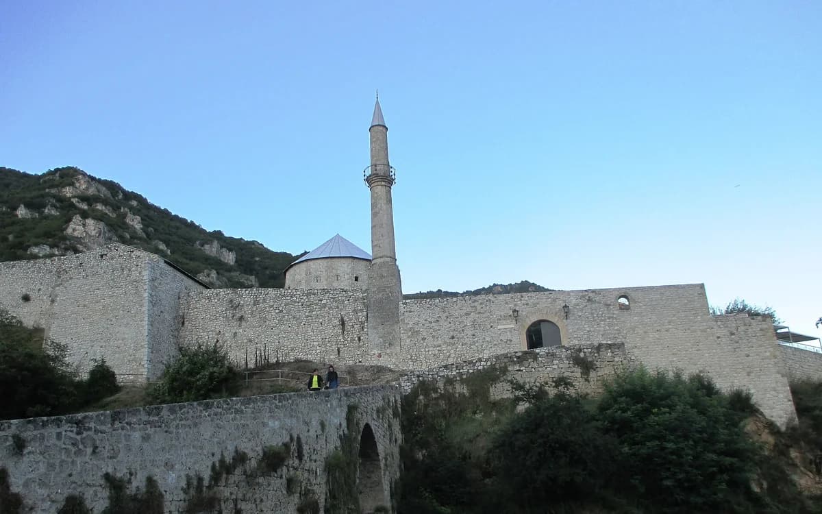
Follow the water rather than stopping at one café terrace. The compact streamside walk lets you see the spring, channels and the steep fortress above, which makes the relationship between natural topography and the old town unusually clear.
Leave time to sit. Plava Voda’s value comes partly from being a social pause inside a sightseeing day, and the contrast between cold clear water, old buildings and the fortress slope is easiest to appreciate without rushing.
Look for these details
- The clear spring and fast stream at the foot of Travnik’s old quarter.
- Views upward toward Stari Grad fortress from the water zone.
- The surviving sense of a working and social waterscape rather than a purely decorative park.
How to plan the visit
Use Plava Voda as the lower anchor for a fortress visit. It is sensible to explore the spring area first or recover there after the climb rather than treating the two as unrelated attractions.
Do not build the visit around one named restaurant or an old account of commercial opening times. The stream and public setting are the durable attraction; food and café choices should be checked on the day.
Timing & conditions
Daylight helps connect the water with the fortress above. Hot days make the shaded stream especially attractive, but there is no need to chase a fixed attraction schedule.
Respectful visiting
Treat the watercourse and nearby residential/commercial space carefully: keep paths clear, dispose of litter properly and do not enter private terraces simply to reach the water.
Avoid these common mistakes
- Reducing Plava Voda to a restaurant stop and missing its historical relationship with water power and the fortress.
- Scheduling it as a distant excursion when it belongs naturally to the same walking zone as Stari Grad.
Questions before you go
Is Plava Voda a lake?
No. It is a spring-and-stream area in Travnik, historically tied to water-powered activity and today used as a scenic and social part of the old town.
Is Plava Voda close to Travnik Fortress?
Yes. The fortress rises directly above this part of the old town, making the two a natural combined visit.
Nearby sights and a wider itinerary
Do not build the visit around one named restaurant or an old account of commercial opening times. The stream and public setting are the durable attraction; food and café choices should be checked on the day.
Sources and further reading
History and visitor context are informed by these references. Geographic point provenance and licensed photo attribution are shown separately above; a Google Maps pin is not a historical source.