
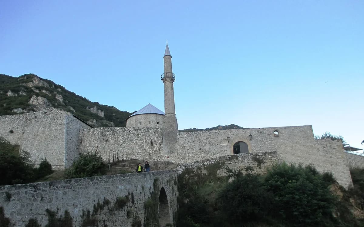
Is it worth including?
Above the old core · short uphill approach It fits naturally into a visit to this part of the destination.
- Allow
- Allow about 1–1.5 hours at the fortress, plus time for the uphill approach and Plava Voda if combining them.
- Getting there
- The fortress is above the old quarter and Plava Voda on the eastern side of central Travnik. Approaching on foot best explains the topography.
- Ground / accessibility
- The uphill approach, historic bridge, stone paving and changes of level can be demanding. Contact the Regional Museum for the current closest access and any mobility arrangements before relying on a step-free visit.
Understanding Travnik Fortress
Travnik’s Stari Grad fortress rises on a rocky spur above Plava Voda and the old quarters. Its original builder is not securely documented, and responsible local history places its construction broadly in the late medieval Bosnian period, probably in the later fourteenth or early fifteenth century. The position was strategic: the walls overlook the narrow Lašva valley and routes connecting Central Bosnia, so the fortification worked as a defensive control point rather than simply a noble scenic residence.
Ottoman rule brought further adaptation, and the fortress continued to matter as Travnik developed into the seat of Bosnian viziers after the late seventeenth century. In the twentieth century its military role ended and the Regional Museum of Travnik took responsibility for the site in 1953. Conservation and restoration have since turned towers and former military spaces into exhibition and cultural areas, leaving a monument where medieval masonry, Ottoman-era changes and modern museum use can all be read together.
What to see, and what deserves a closer look
Walk up from the Plava Voda side if your mobility allows. The ascent makes the defensive location obvious before you enter: the fortress sits above the spring zone, old neighborhoods and Lašva corridor rather than floating separately from the town.
Inside, divide your attention between the walls and the museum content. The panorama is memorable, but the permanent displays and surviving internal spaces stop the visit from becoming only a viewpoint.
Look for these details
- The commanding view over Plava Voda, Travnik’s old quarters and the Lašva valley.
- The surviving medieval defensive fabric with later historical additions.
- Museum exhibitions inside restored fortress spaces that add context beyond the panorama.

How to plan the visit
Pair the fortress with Plava Voda and the eastern old-town streets. They occupy the same compact end of Travnik, although the climb means you should not treat them as equally effortless stops.
Check the Regional Museum’s current visitor information before depending on an interior exhibition or a particular entrance arrangement. Seasonal access can change, while the exterior geography and monument remain the durable reason to visit.
Timing & conditions
Daylight is best for the walls, exhibitions and views. In warm weather, an earlier or later visit makes the climb more comfortable.
Respectful visiting
Respect museum rooms, barriers and protected masonry. Events can temporarily change circulation, so follow staff instructions rather than climbing or crossing closed areas.
Avoid these common mistakes
- Naming a specific medieval king as the proven builder when local historical sources explicitly say the builder remains uncertain.
- Visiting only for the view and skipping the fortress’s internal historical layers and museum role.
When a guide or organized transport helps.
Compare these options with the independent plan above. Choose the right departure base first. Sight photos illustrate the route; they are not operator photos.
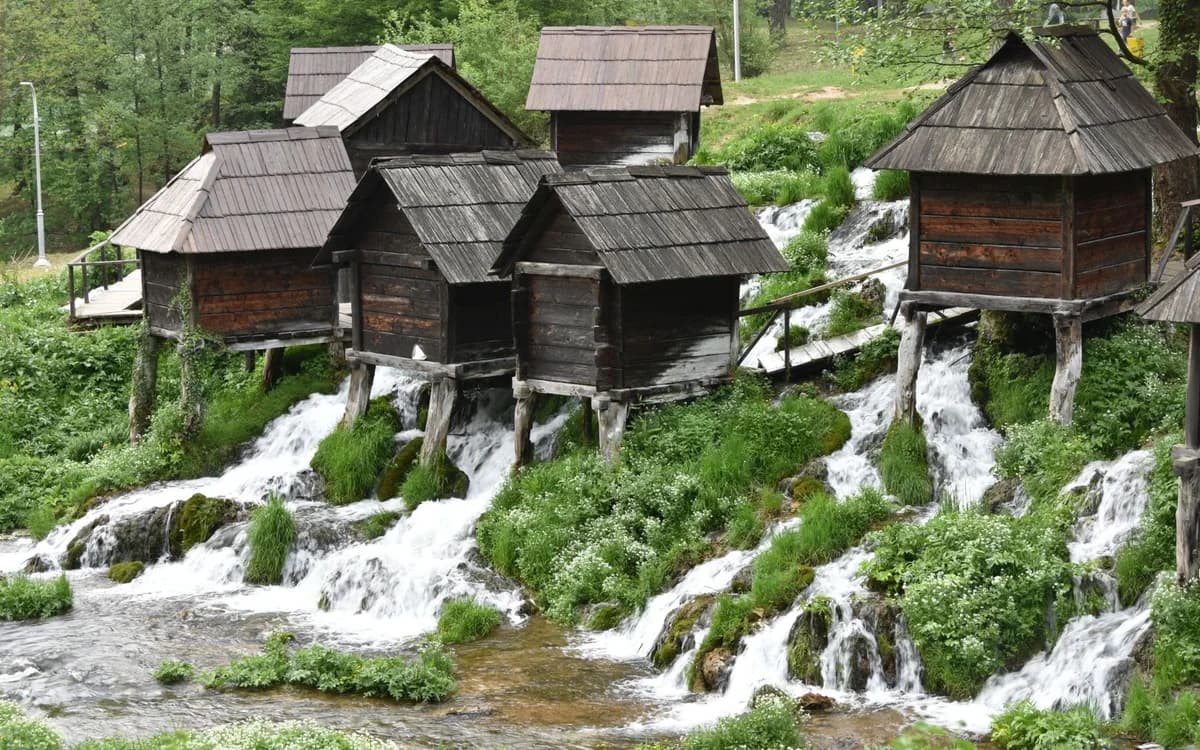
Connect Jajce and Travnik without self-driving
A guided day joins the waterfall, lakes and historic town in one return route from Sarajevo.
- Departure base
- Sarajevo
- Time / format
- About 10 hours
Staying in Jajce instead? Our one-day guide helps you visit at your own pace.
Read our independent route guideQuestions before you go
Who built Travnik Fortress?
The exact builder is not known. Evidence places the fortification in the medieval Bosnian period, but local historians caution against assigning it confidently to one ruler.
Can you combine Travnik Fortress and Plava Voda?
Yes. They sit in the same eastern old-town area, with the fortress above the spring zone. The only caveat is the uphill climb between them.
Nearby sights and a wider itinerary
Check the Regional Museum’s current visitor information before depending on an interior exhibition or a particular entrance arrangement. Seasonal access can change, while the exterior geography and monument remain the durable reason to visit.
Sources and further reading
History and visitor context are informed by these references. Geographic point provenance and licensed photo attribution are shown separately above; a Google Maps pin is not a historical source.