

Is it worth including?
River walk · north-east of the old town It fits naturally into a visit to this part of the destination.
- Allow
- Allow roughly 45–90 minutes including the riverside approach, crossing and time on both banks.
- Getting there
- The bridge is northeast of the Old Town along the Trebišnjica. Trebinje Tourism lists it as reachable on foot from the center.
- Ground / accessibility
- The bridge and riverside approach are historic outdoor surfaces rather than a controlled museum route. Expect changes in paving and verify the most suitable bank approach if step-free access is important.
Understanding Arslanagić / Perović Bridge
The Perović, better known as Arslanagić, Bridge is one of Trebinje’s clearest Ottoman-period landmarks. Trebinje Tourism dates its construction to 1574 and attributes it to Grand Vizier Mehmed Pasha Sokolović. Its later popular name came from Arslan-aga, who was placed in charge of collecting the crossing fee after Ottoman families moved toward Trebinje following the loss of Herceg Novi in 1687.
The bridge’s present location is itself part of the story. Construction of the Trebišnjica hydropower system submerged the original site in the 1960s. Conservation authorities then had the stone bridge dismantled and moved upstream, where it was reconstructed between the Gradina and Police banks. That relocation means the monument should be understood both as sixteenth-century architecture and as a twentieth-century preservation project responding to a transformed river.
What to see, and what deserves a closer look
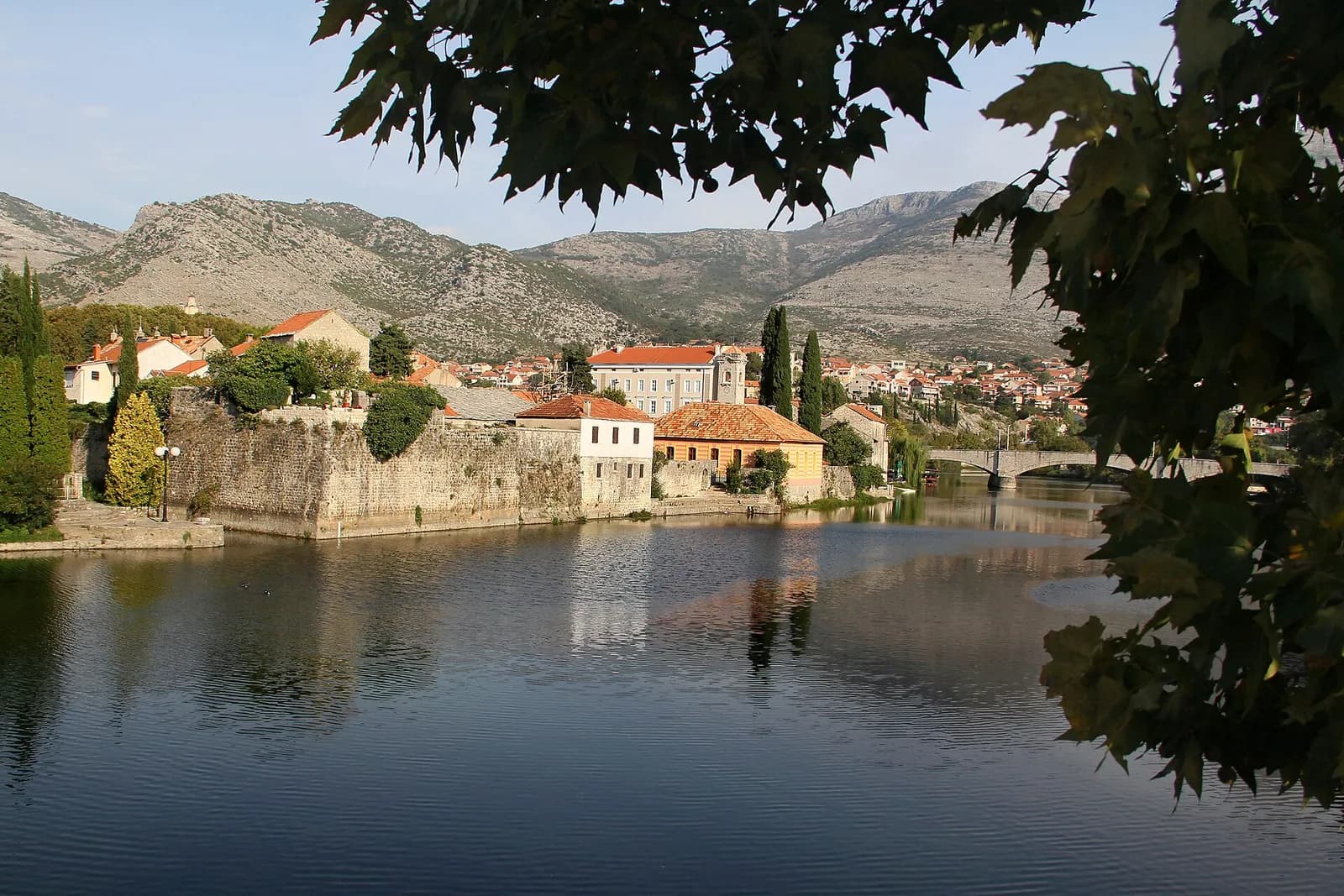
Approach along the Trebišnjica rather than treating the bridge as a drive-up object. Its multiple stone arches read best in relation to the broad river, and the walk from the center makes the change from walled Old Town to a quieter riverside landscape part of the visit.
Cross the bridge, then look back from the opposite bank. The low pedestrian viewpoint makes the masonry, arch rhythm and river width easier to understand than a single frontal photograph.
Look for these details
- The sequence of Ottoman stone arches across the Trebišnjica.
- The unusual relocation history caused by the twentieth-century hydropower transformation of the river.
- The pedestrian connection between central Trebinje and a quieter stretch of river landscape.
How to plan the visit
This is a good extension to a central Trebinje day, not a reason to reorganize the whole itinerary. Official tourism material places it a little beyond the tight center and includes it in half-day city circuits with the Old Town and Crkvina.
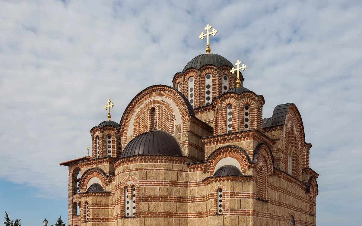
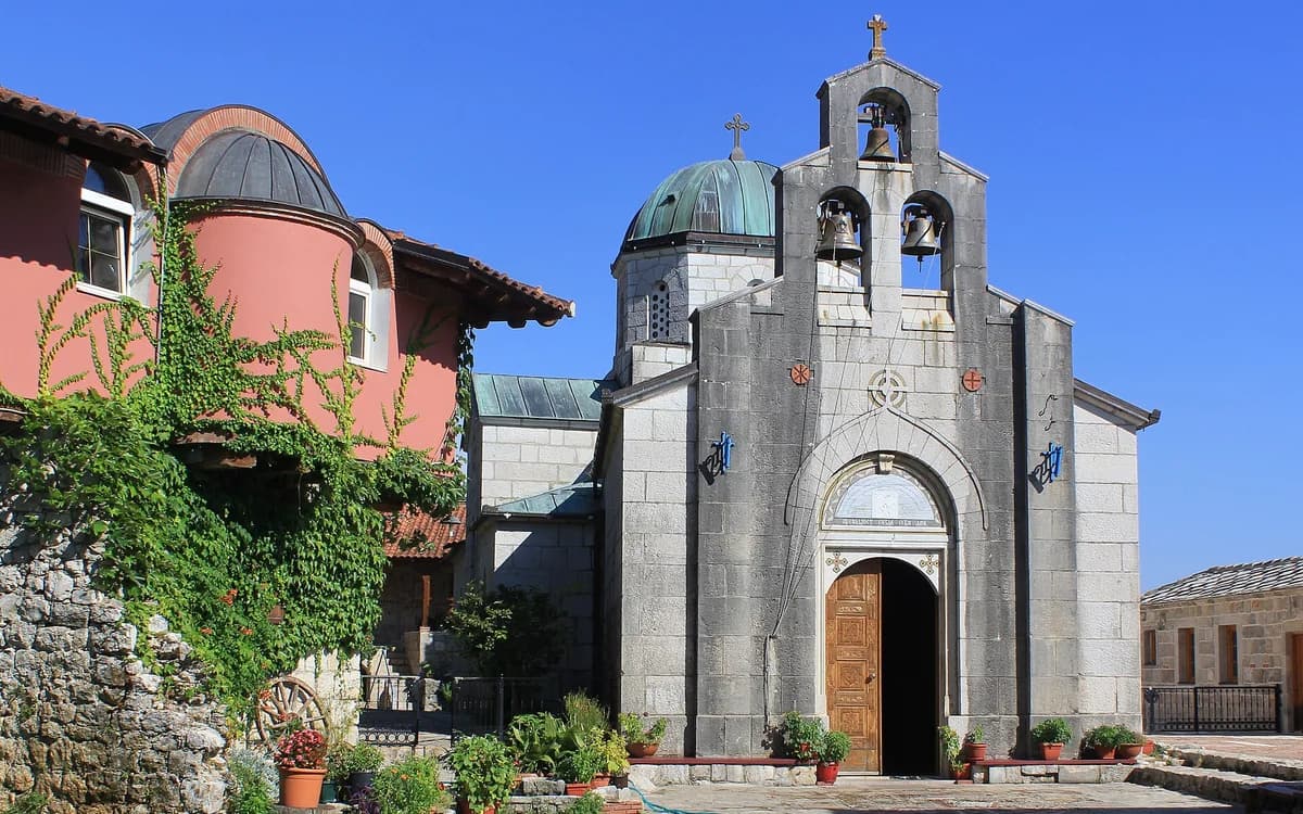
Pair it with the riverfront before committing to an uphill or road-based sight. A bridge walk followed by Hercegovačka Gračanica changes both gradient and energy; doing Tvrdoš afterward changes transport again.
Timing & conditions
Soft morning or later-afternoon light makes the stone and river easier to read, but the more important choice is to leave enough daylight for a relaxed riverside walk.
Respectful visiting
Use the bridge as shared public space: keep passages clear, do not climb parapets for photographs and give cyclists or other pedestrians room where paths narrow.
Avoid these common mistakes
- Seeing only the bridge deck and missing the side view that makes the arch structure understandable.
- Assuming the monument still stands on its sixteenth-century site; its relocation is an essential part of its modern history.
Questions before you go
Can you walk to Arslanagić Bridge from central Trebinje?
Yes. The city tourism organization treats it as a walkable sight from the center, and the riverside approach is part of the value of the visit.
Was Arslanagić Bridge moved?
Yes. The original site was affected by the Trebišnjica hydropower system in the 1960s, and the bridge was dismantled and reconstructed upstream at its present location.
Nearby sights and a wider itinerary
Pair it with the riverfront before committing to an uphill or road-based sight. A bridge walk followed by Hercegovačka Gračanica changes both gradient and energy; doing Tvrdoš afterward changes transport again.
Sources and further reading
History and visitor context are informed by these references. Geographic point provenance and licensed photo attribution are shown separately above; a Google Maps pin is not a historical source.