
Is it worth including?
Historic core · uphill from the waterfall side It fits naturally into a visit to this part of the destination.
- Allow
- Allow about 1–1.5 hours including the uphill approach, entrance details and time on the walls.
- Getting there
- The fortress stands above the old town. Approaching on foot from the central sights best reveals the relationship between the citadel, walls and lower city.
- Ground / accessibility
- The hill, historic stone surfaces and fortification levels create substantial barriers for some visitors. Anyone needing step-free access should ask the heritage agency about the current closest vehicle approach and accessible areas.
Understanding Jajce Fortress
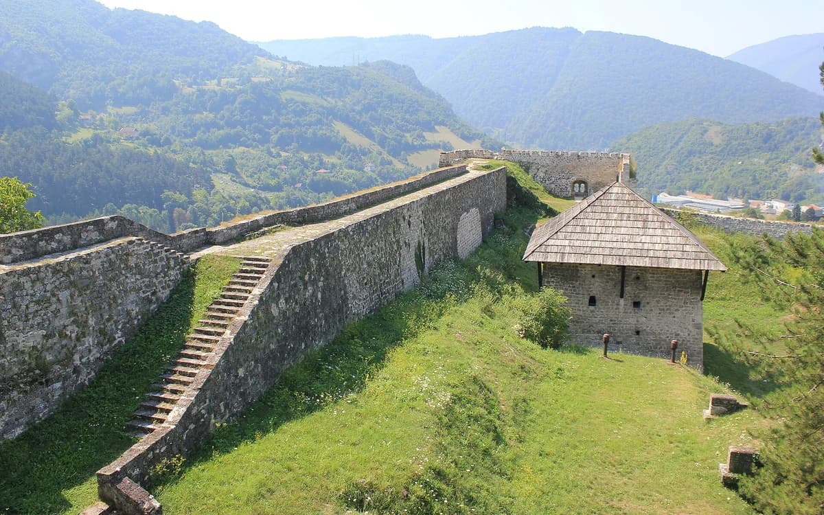
Jajce Fortress crowns the hill above the historic town and was built and altered across several centuries. The Jajce heritage agency says a fortification probably existed here by the thirteenth century, while the entrance preserves a fifteenth-century portal bearing the Kotromanić royal coat of arms. That royal marker links the citadel directly with Jajce’s role in the late medieval Bosnian state without pretending the whole visible complex belongs to one date.
Later rulers adapted the defensive system rather than abandoning it. The fortress connects with town walls, gates, towers and bastions descending around Jajce, and the interior contains traces of later military and civic use, including a gunpowder magazine and an Austro-Hungarian-period water reservoir. The result is a layered fortification whose best historical reading comes from separating medieval royal symbolism from Ottoman and later interventions.
What to see, and what deserves a closer look
The approach is part of the visit. Walking uphill from the waterfall or central streets exposes Jajce’s vertical urban form before the walls open into wider views over roofs, river valleys and surrounding slopes.
Pause at the entrance portal before focusing on the panorama. The royal coat of arms is one of the site’s most specific details and keeps the fortress from becoming merely another viewpoint above a pretty town.
Look for these details
- The entrance portal with the Kotromanić royal coat of arms.
- Views that show the steep relationship between fortress, historic core and river valleys.
- The surviving connection between the citadel and Jajce’s wider system of walls, gates and towers.
How to plan the visit
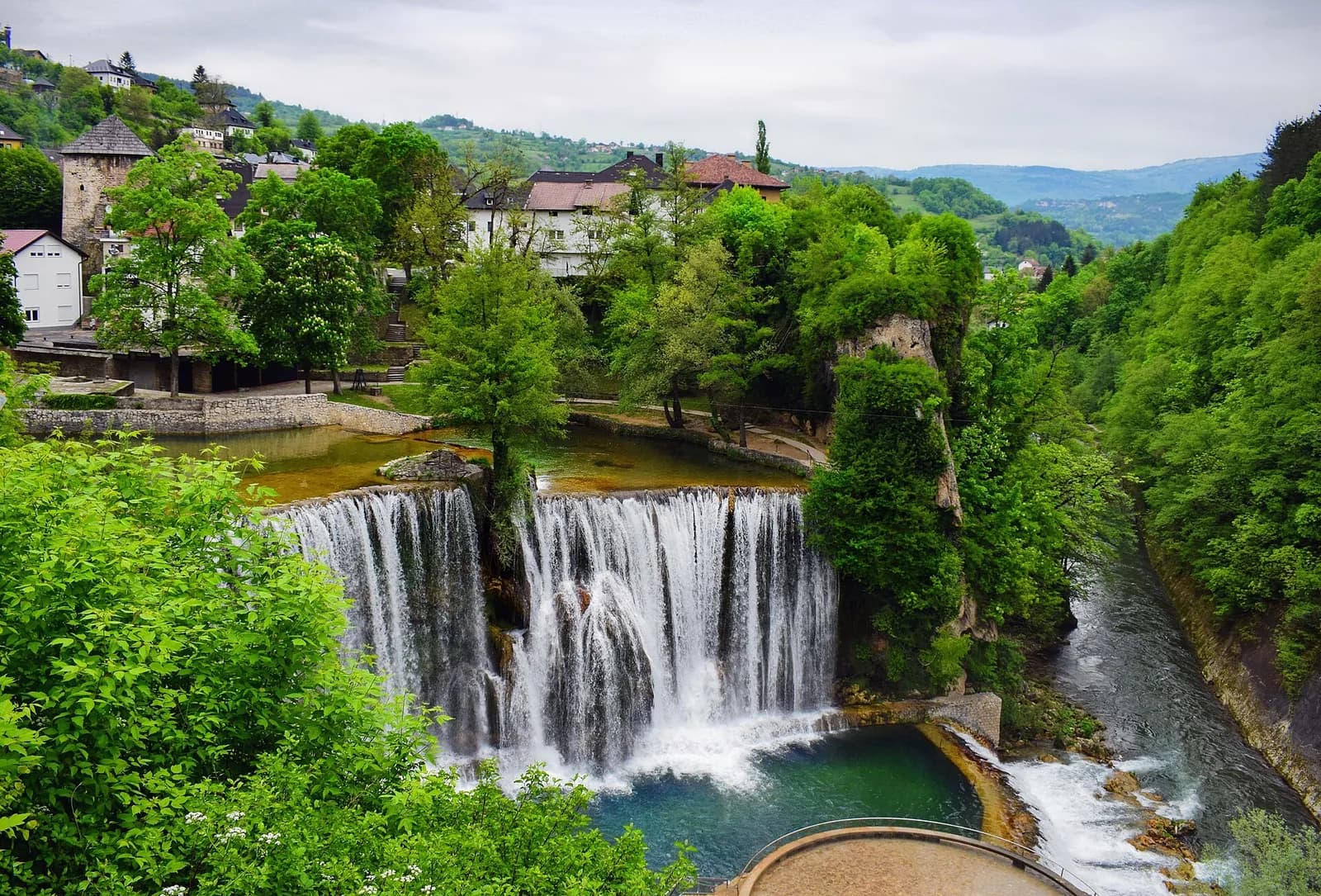
Combine the fortress with the Catacombs and central monuments in one walking sequence, but allow for the climb. A short map distance from the waterfall can still involve a meaningful elevation change.
Use the heritage agency for current visitor access rather than copying older seasonal hours. The site is durable; opening arrangements, maintenance and event use are not.
Timing & conditions
Visit in daylight for views and architectural details. In hot weather, the climb is more comfortable outside the strongest midday heat.
Respectful visiting
Stay away from exposed wall edges, respect closed conservation areas and avoid climbing masonry for photographs.
Avoid these common mistakes
- Rushing straight to the panorama and overlooking the royal portal and layered defensive fabric.
- Assuming the uphill walk is trivial because the fortress appears close to the waterfall on a map.
Questions before you go
Is Jajce Fortress medieval?
Its core has medieval origins and the royal portal is fifteenth-century, but the fortification was altered repeatedly under later rulers, so the visible site contains several historical layers.
Is the fortress walk difficult?
The distance from the central sights is short, but Jajce is steep. Expect an uphill approach and historic surfaces rather than a flat promenade.
Nearby sights and a wider itinerary
Use the heritage agency for current visitor access rather than copying older seasonal hours. The site is durable; opening arrangements, maintenance and event use are not.

Sources and further reading
History and visitor context are informed by these references. Geographic point provenance and licensed photo attribution are shown separately above; a Google Maps pin is not a historical source.