
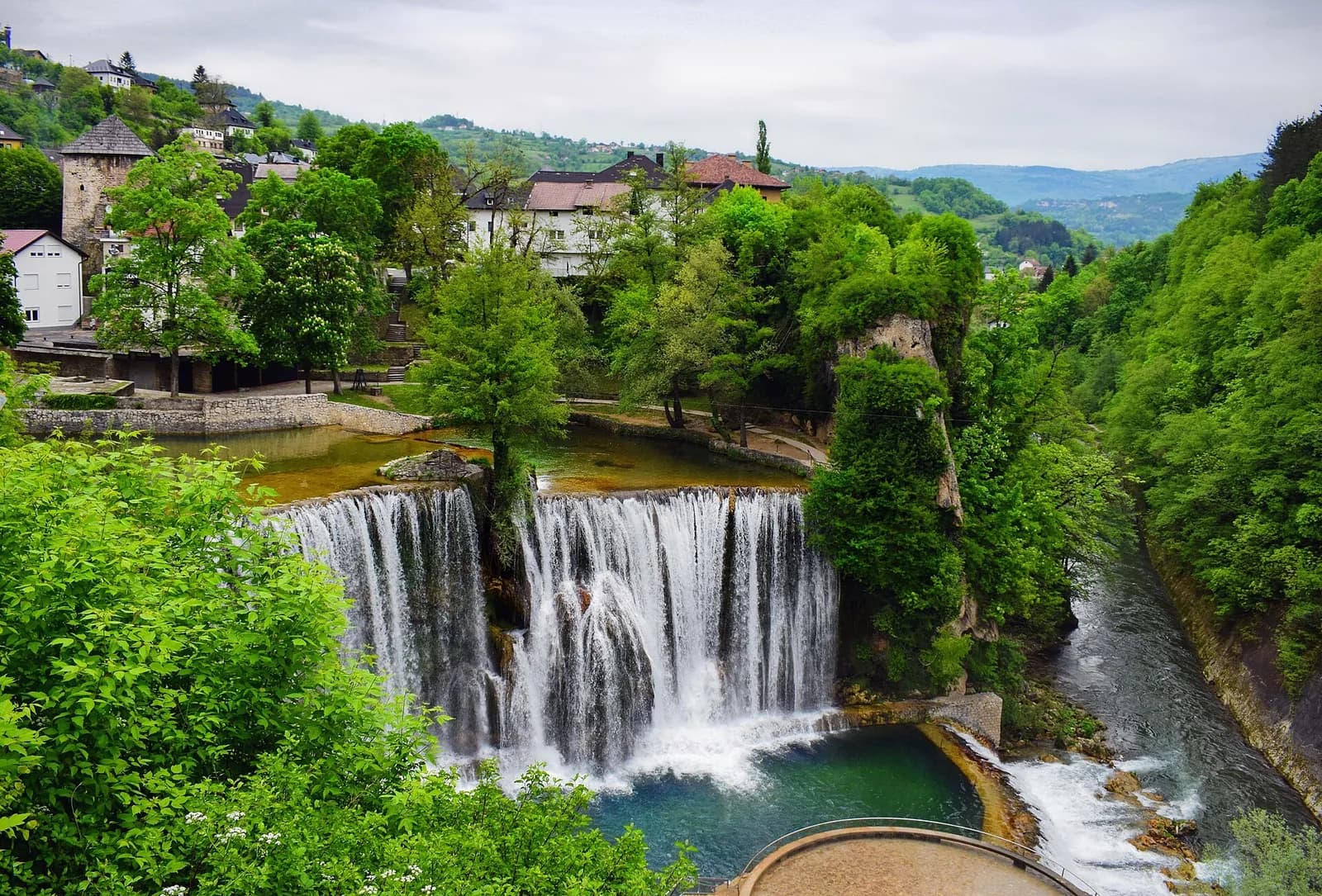
Is it worth including?
Below the historic core · easy central pairing It fits naturally into a visit to this part of the destination.
- Allow
- Allow about 45–90 minutes for multiple viewpoints and the connection back into the historic core.
- Getting there
- The waterfall is in central Jajce at the Pliva–Vrbas confluence, immediately below the old town. It is best approached as part of the central walking circuit.
- Ground / accessibility
- The lower waterfall experience involves a vertical change from the town and can require steps or sloping approaches. Visitors needing step-free access should identify the current upper or roadside viewpoint that best fits their mobility.
Understanding Pliva Waterfall
Pliva Waterfall exists because the Pliva reaches the edge of Jajce’s historic center and drops over a tufa formation immediately before joining the Vrbas. The Jajce heritage agency presents the waterfall as the town’s natural symbol and explains it as part of the same river system that links Jajce with Jezero and Šipovo. Its unusual urban setting is therefore not accidental scenery: the medieval and later town developed directly above a powerful river confluence.
The waterfall is a changing natural feature rather than a fixed architectural object. Tufa is created and reshaped by mineral-rich water, while river regulation and maintenance can temporarily affect flow. The local agency has issued notices when water has been regulated for works or events, which is a useful reminder not to treat a particular photograph, water level or old visitor report as a permanent condition.
What to see, and what deserves a closer look
See the waterfall from more than one elevation. The upper town makes the Pliva-to-Vrbas drop intelligible, while the lower viewpoint gives the strongest sense of spray, sound and the vertical relationship between the falls and Jajce’s historic core.
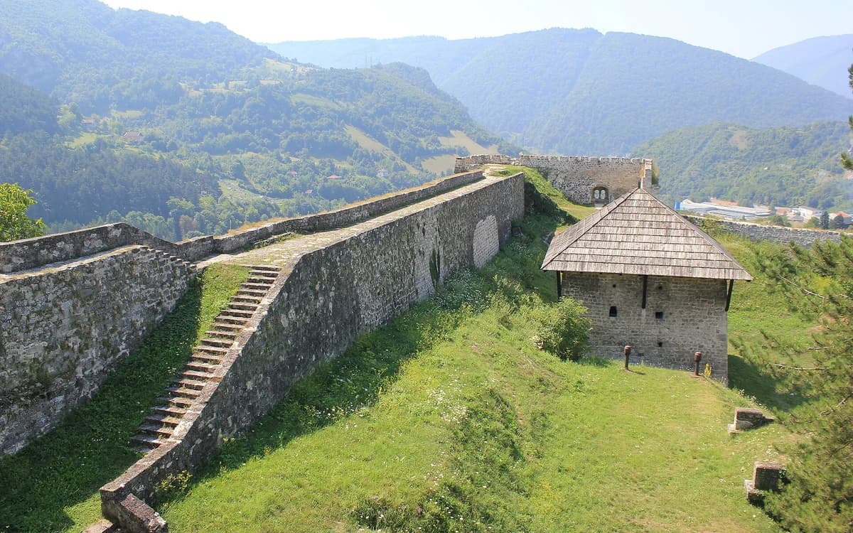
After the lower viewpoint, continue upward into the old town instead of returning immediately to a vehicle. The transition from water to walls, houses, Catacombs and Fortress is what makes this waterfall different from a remote nature stop.
Look for these details
- The Pliva dropping into the Vrbas directly below the historic center.
- The lower viewpoint, where sound and spray reveal the scale of the fall.
- The immediate uphill continuation from the waterfall into Jajce’s layered old town.
How to plan the visit
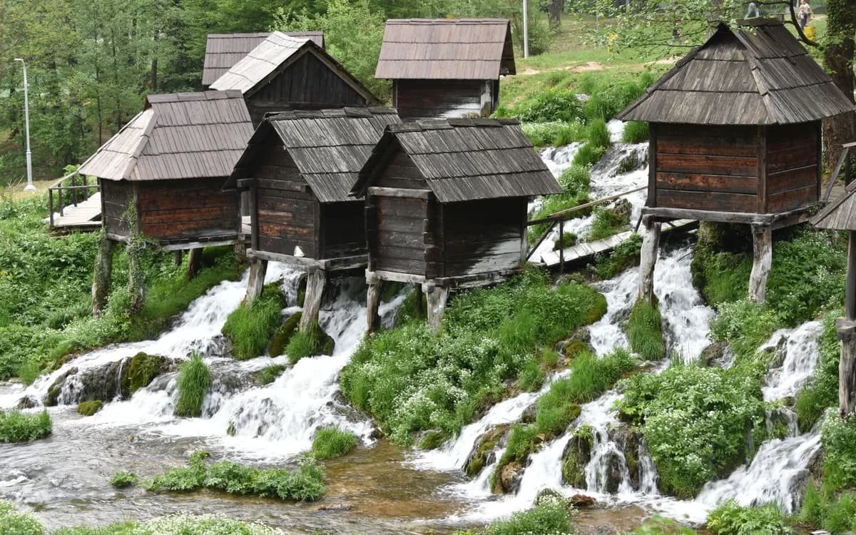
Keep the waterfall in the same walking block as central Jajce sights. The Pliva Lakes and Mlinčići lie outside the immediate center and should form a separate road, taxi, cycle or other local-transfer block.
Check the Jajce heritage agency for current access notices if the waterfall is the main reason for your visit. Temporary works or water-management measures can affect the lower plateau or flow without changing the rest of the town itinerary.
Timing & conditions
Daylight is most useful for connecting the waterfall with the town above. Check current local notices rather than assuming the flow and lower-platform access match an older visit.
Respectful visiting
Stay behind viewpoint barriers, respect wet and slippery surfaces, and do not cross restricted areas for a closer photograph.
Avoid these common mistakes
- Driving away after one waterfall photograph and missing how closely the natural feature connects with the historic core.
- Treating an old reported water level, platform condition or flow as guaranteed for the day of the visit.
When a guide or organized transport helps.
Compare these options with the independent plan above. Choose the right departure base first. Sight photos illustrate the route; they are not operator photos.
Connect Jajce and Travnik without self-driving
A guided day joins the waterfall, lakes and historic town in one return route from Sarajevo.
- Departure base
- Sarajevo
- Time / format
- About 10 hours
Staying in Jajce instead? Our one-day guide helps you visit at your own pace.
Read our independent route guideQuestions before you go
Is Pliva Waterfall outside Jajce?
No. It sits directly below the historic center where the Pliva enters the Vrbas, which is why it can be combined easily with the central monuments.
Are the Pliva Lakes next to the waterfall?
They belong to the same river system but are outside the immediate town center. Treat the lakes and Mlinčići as a separate outing rather than the next stop on a short central walk.
Nearby sights and a wider itinerary
Check the Jajce heritage agency for current access notices if the waterfall is the main reason for your visit. Temporary works or water-management measures can affect the lower plateau or flow without changing the rest of the town itinerary.

Sources and further reading
History and visitor context are informed by these references. Geographic point provenance and licensed photo attribution are shown separately above; a Google Maps pin is not a historical source.